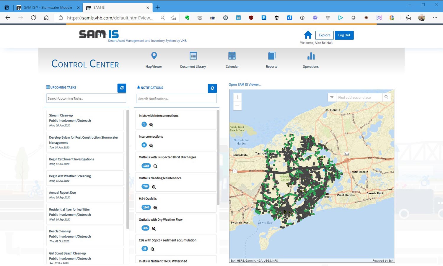
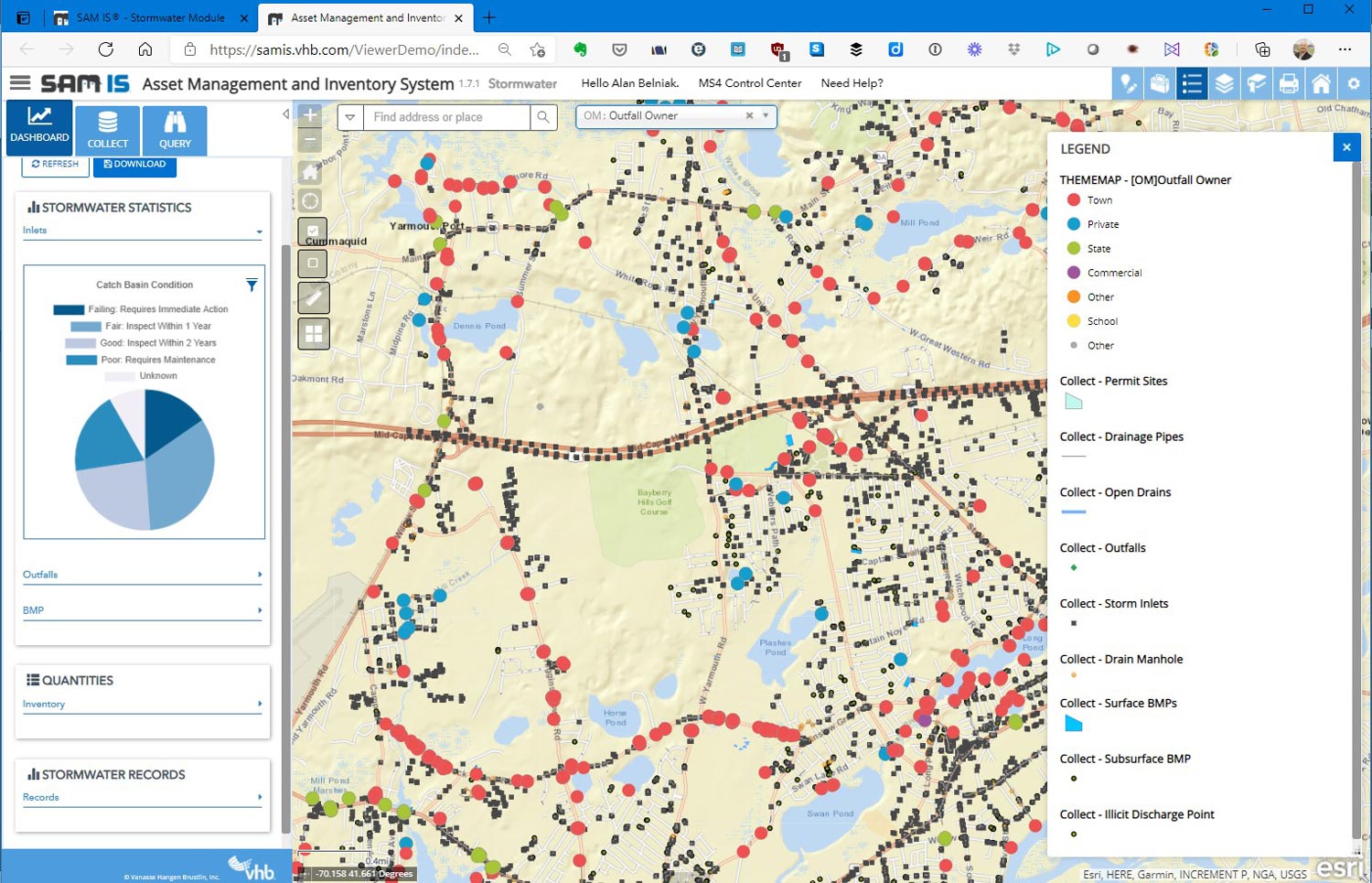
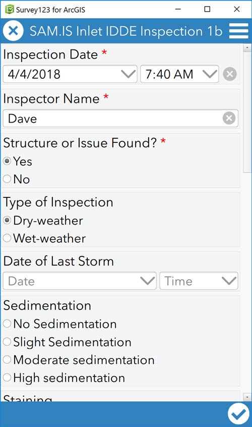
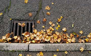
The SAM IS® Stormwater module helps agencies track, plan, and report activities in accordance with Municipal Separate Storm Sewer System (MS4) requirements. The field data collection capabilities allow you to update the inventory and characteristics of structures and best management practices (BMPs) within the system, and automate the workflow of the investigation/inspection records for each asset type.
The SAM IS® platform uses Esri’s ArcGIS Online and works with your agency’s GIS data. Existing data can be used immediately to improve maintenance and begin mapping your network. SAM IS® can be used to track the condition, improvements, general maintenance, and scheduled efforts for the following assets: