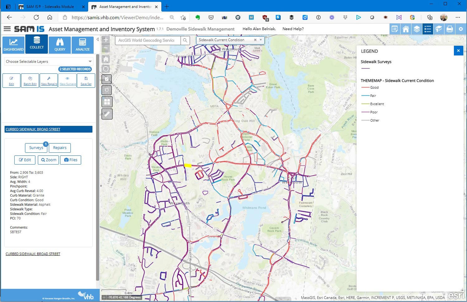
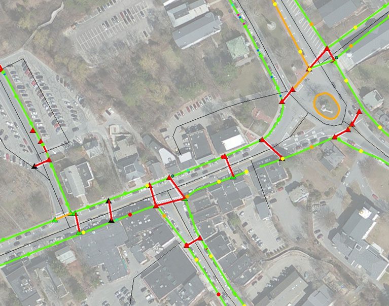
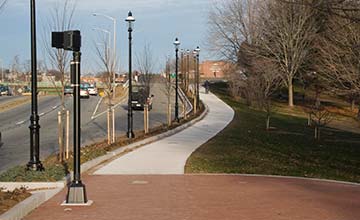
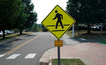
The SAM IS® Sidewalk module can help you inventory and plan for pedestrian amenities, and improve mobility for all your citizens.
Its mobile application allows for the collection of critical data from the field, as well as tracking planned and implemented improvements. The Sidewalk module collects:
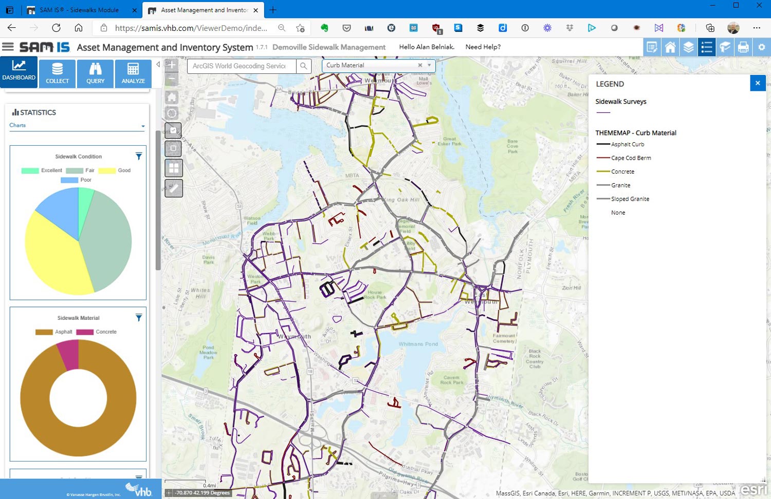
The SAM IS® platform uses Esri’s ArcGIS Online and works with your agency’s GIS data so that users can add to existing databases, create new features, and cross-reference other layers for continual improvement of spatial data and enhanced decision-making.
You can use SAM IS® to not only inventory the improvements needed for ADA compliance, but also to track what improvements were made, and when. The SAM IS® platform allows assigning and monitoring work repairs completed. These records are connected to their respective assets and can be used to generate a historical list of actions performed. You can investigate this data with a click of the button, while seeing the asset’s location on a map.
SAM IS® also helps you share information with transparency and accuracy, facilitating your ability to justify recommendations for improvements to your pedestrian amenities.